26/1/2012
Lesley and I drove out to Dallington Road, in the east of Christchurch, by the Avon river. A lot of houses here had sunk into the ground due to the earthquake in February and were sitting there empty, with their gardens overgrown with weeds. Because most of these houses or land had been compromised by the quake, people had to leave them and try to find somewhere else to live. The banks of rivers are a lot more vulnerable in earthquakes. During earthquakes, lateral spreading can happen, where river banks move towards each other and cracks open along the banks. This cracking can extend back into properties, damaging houses. Some of the houses here were very obviously tipped at an angle.
We were only going to have a look at this part of town but then Lesley decided that we’d carry on to Sumner and Lyttleton, to see the damage there. When we got to Sumner, we drove along by the beach, which was lovely. Over by the Port Hills, part of the road near the beach has a long row of shipping containers, which are there to try and protect motorists from falling rocks during and after earthquakes. When you look up at the top of the hill, you could see some houses which were teetering on the edge of the hill, badly damaged.
 Some of them were big houses, with walls half gone, windows broken and curtains flapping in the wind. It just seemed so sad to see. It gave me the impression that people had to flee out of their houses and leave everything behind. When the earthquake in February 2011 struck, the rupture began just before 12.51pm and 43 seconds, about 7km to 10km below the Port Hills and tore upwards towards the city at about 3km a second. The rupture energy arrived at the surface after four seconds, with vertical accelerations of more than twice that of gravity: the strongest recorded in any New Zealand earthquake. The Port Hills fault was a previously unknown feature, which first showed signs of existence a few mornings after the September 2010 earthquake.
The Southern Alps in the South Island are riddled with faults, including the Alpine  Fault running along the western edge of the Main Divide and its subsidiaries. The North Canterbury foothills are home to a number of faults also, while more faults are evident offshore under Pegasus Bay and hidden beneath the Canterbury Plains and Banks Peninsula. Have a look at a diagram from Geonet (diagram on right side of webpage) showing the faults around the Christchurch area.
We drove on out to Lyttleton. This is a lovely little town with a working wharf. With it being only a short drive from Sumner, it was also badly hit by the February quake. Across the bay, you can see the hills of the Banks Peninsula and beyond that is Akaroa. We drove around here for a short while. Some of the shops were closed down but one or two fish and chip shops were open and the wharf was still up and running, even though it was damaged in the quake. Sawmilling is a big industry in this part of the country, so it was good to see the wharf and the town picking up its feet again, trying to get back to normality.
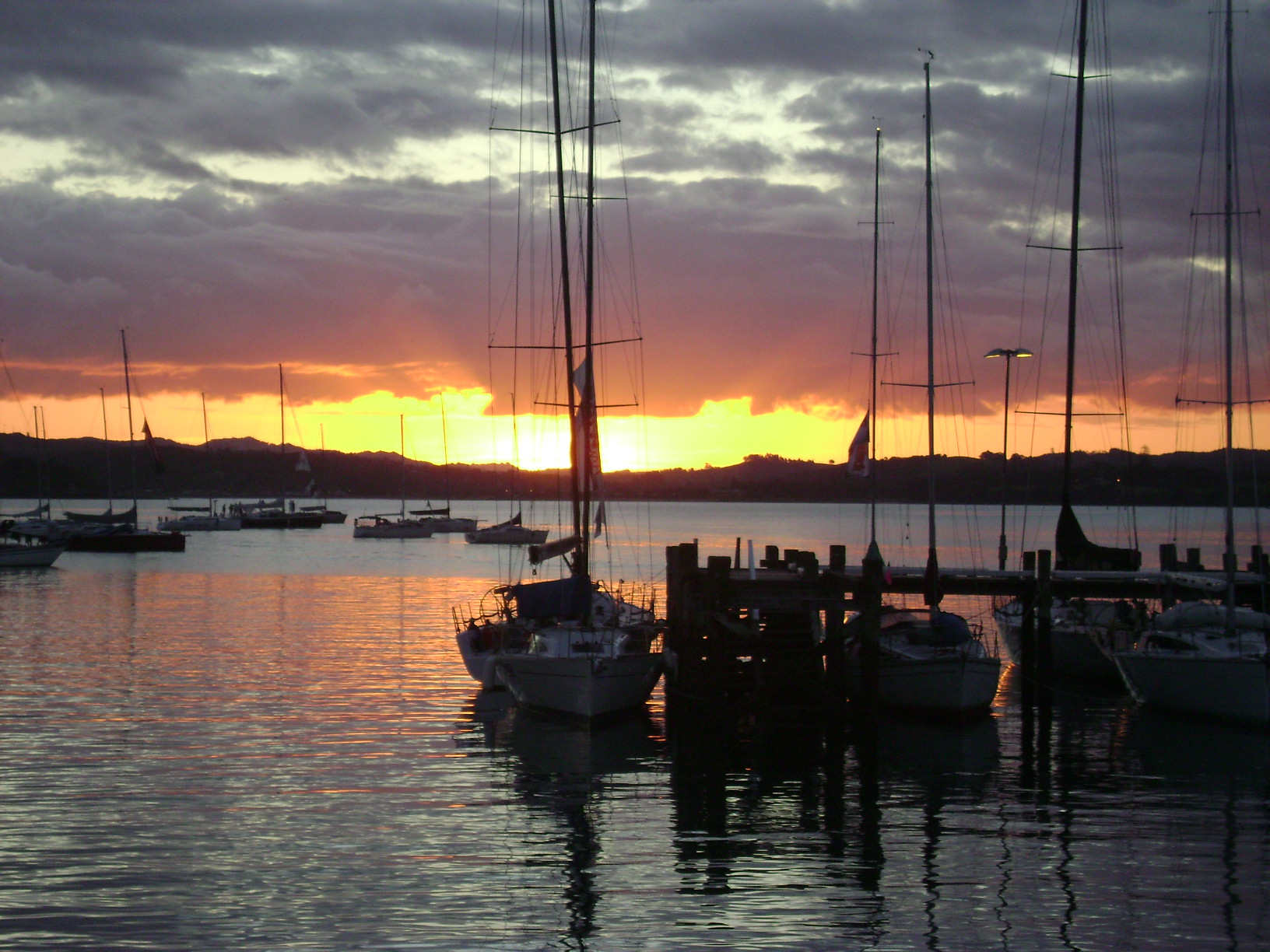
 It was coming up to 9pm and getting dark, so Lesley decided that we’d drive back to Christchurch via Governor’s Bay, around the coast. I tried to take a few photos of Lyttleton but when I looked back on them, they weren’t great. I did take one nice photo of Cass Bay. It’s got a few yachts in the foreground in the bay and the dark shapes of the jutting hills behind and a blue sky on the horizon. It was beautiful driving around the coast at dusk, with the light of the villages in the bay and the various blue colours of the peninsula and the darkening sky. There was a lookout where you could stop and see the whole city of Christchurch lit up before you.


Find Martina at: